Easy ridge hike starting in the meadows south-west of Cima Palon going up to the summit of Monte Cornetto. Reasonable distance and elevation gain packed with killer views.
Distance:at the trailheadCapacity:40+ carsBathroom:NoCost:FreeVisited:Dec 11, 2025
A series of gravel pullouts and a bigger parking lot by the picnic area on both sides of the SP25 road shortly after turning off the SP85 by Capanna Viote. It's free but there are no-camping signs everywhere.
Distance:5 minCapacity:40 carsBathroom:Yes — In the Capanna Viote restaurantCost:Free during the week, paid on the weekends and holidays. Cash-only parking meter by the restaurant.Visited:Jan 13, 2026
Spacious paved parking lot with cash-only parking meter by the Capanna Viote restaurant. Serves the restaurant, the local bunny slope, and the nordic skiing area so it gets quite busy, especially on weekends.
Small gravel pullout on the left side of Cima Palon. Just before the no-entry sign on a small forest road that starts on the left side of the SP85 about 3 minutes after the ski piste underpass when coming from Trento.
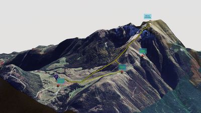
From Strada delle Caserme, get to trail 607 that goes from Capanna Viote all the way to the summit.
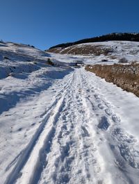
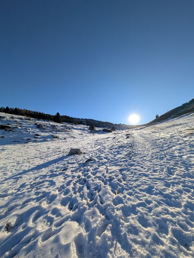
There are multiple unmarked trails crossing the meadows west of the road. Aim to get to the trail before it starts going up the ridge.
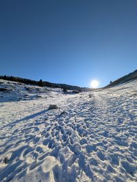
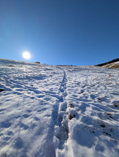
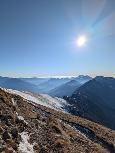
Follow the trail on the ridge; there are stairs for some parts and one or two steeper sections. Otherwise it's straightforward.
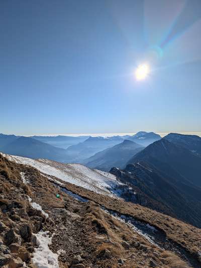
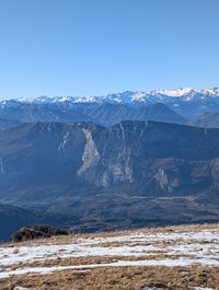
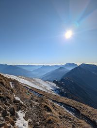
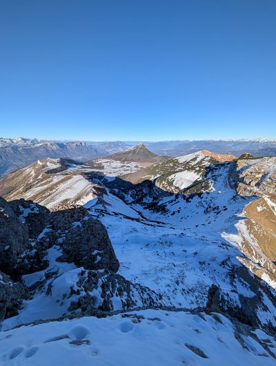
After about 3km / 1h 30m you reach the first false summit and the trail evens out. From there you get a good view of the summit.
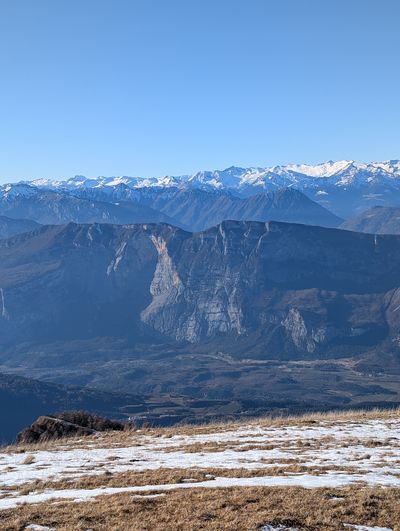
Stay on the ridge and enjoy the views over the Sarca Valley. You can also see Malga Cavedine at the saddle below on the right.
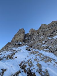
Make your way to the signpost just under the summit.
From there, multiple options reach the top; the easiest is on the west side of the summit.
To return, you can take the same trail all the way back.
Alternatively, if you want to avoid the steep descent, exit the trail to the left and follow trail 618 via Bocca Vaiona and through the gully back to the meadow.
You can import the GPX file into your favorite GPS app or use an online viewer.
viewgpx.com is our personal favorite.
If you share our tracks, please give us credit — a lot of work goes into making them accurate. Cheers!