MON. - DEC 14, 2025 - 01
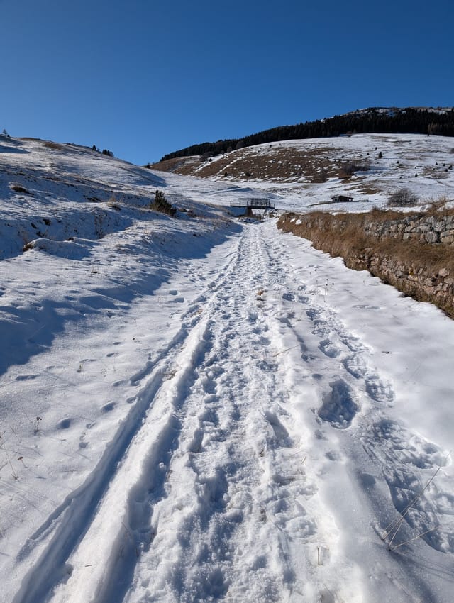
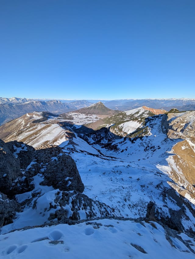
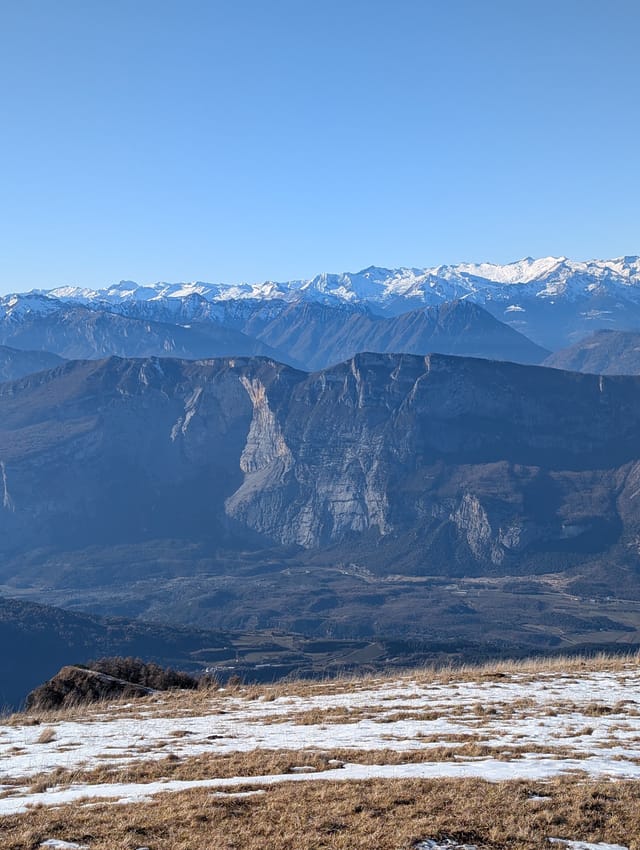
Medium hike starting in the meadows south-west of Cima Palon, following the ridge up to the summit of Monte Cornetto. It packs a reasonable distance and elevation gain together with killer views.
From Trento, take SP85 toward Monte Bondone and Vason. Continue through Vason, pass beneath the ski lift and piste underpass, then turn left at the first intersection and drive past Capanna Viote toward Strada delle Caserme.
From Strada delle Caserme, get to trail 607, which goes from Capanna Viote all the way to the summit.
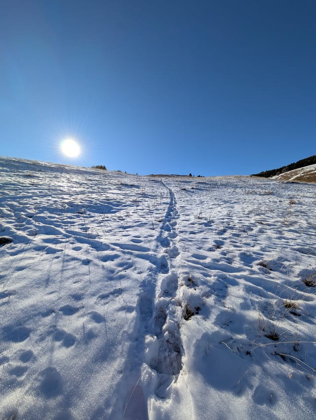
Multiple unmarked trails cross the meadows west of the road. Aim to join trail 607 before it starts climbing the ridge.
Follow the trail along the ridge. There are stairs in places and one or two steeper sections, but otherwise the route is straightforward.
After about 3 km or 1 hour 30 minutes, you reach the first false summit and the trail evens out. From there you get a good view of the summit.
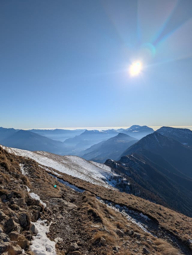
Stay on the ridge and enjoy the views over the Sarca Valley. You can also see Malga Cavedine at the saddle below on the right. It's closed during the winter but it's a great place to stop on your way down in the summer.
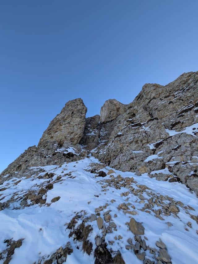
Make your way to the signpost just below the summit. Multiple lines reach the top from there; the easiest is on the west side of the summit.
Return on the same trail. To avoid the steep descent, you can instead leave the ridge to the left and follow trail 618 via Bocca Vaiona and through the gully back to the meadow.
The hike is doable year-round.
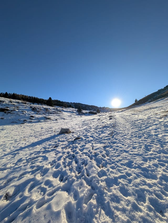
Expect snow through most of the winter; the popular trail usually has visible packed tracks.
The steeper sections of the ridge can be icy and slippery but since it's not exposed it's not too bad. The whole area is also popular for easy ski touring and splitboarding.
There are no trees while crossing the meadow or on the upper ridge, so you will be exposed to sun and weather. The first portion of the ridge passes through trees and offers some protection.
There is a spring just off the trail near Malga Cavedine.