RIF. - DEC 11, 2025 - 01
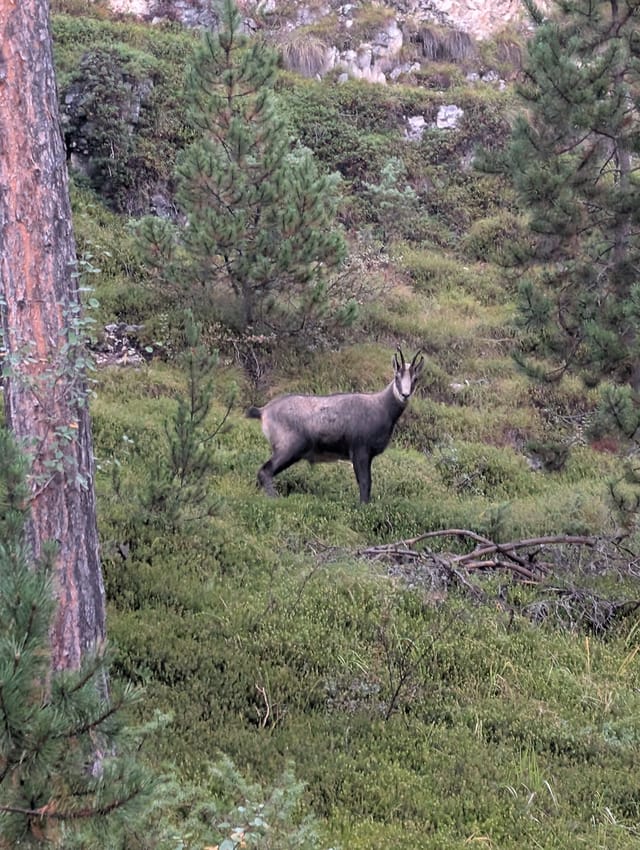
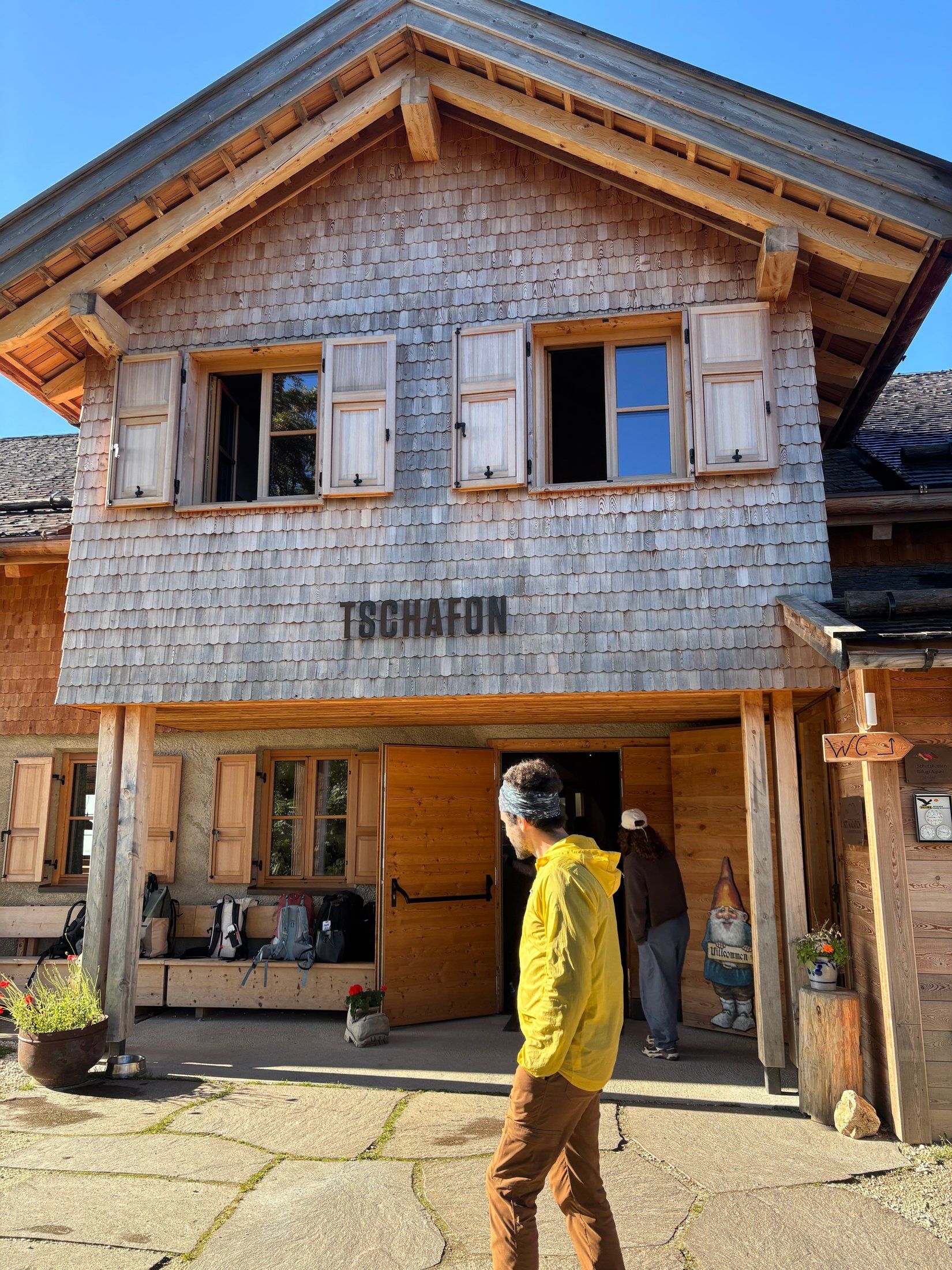
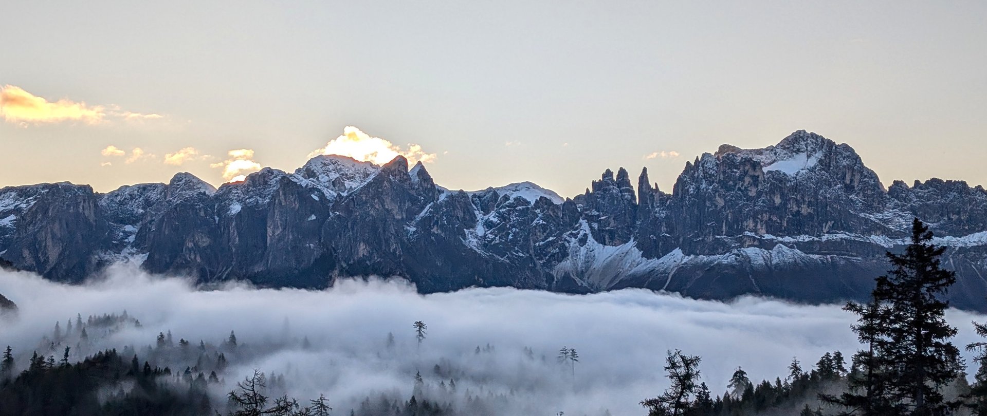
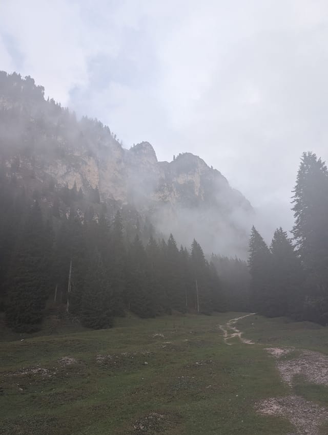
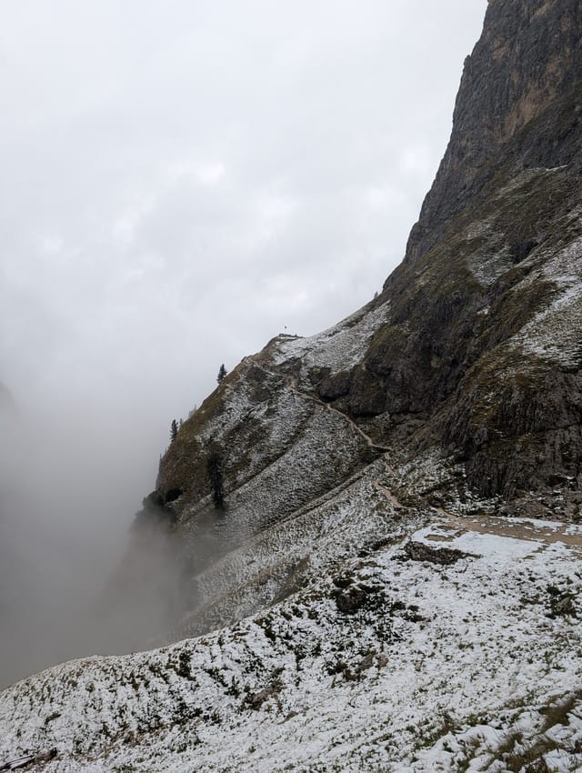
Moderate out-and-back hike from Lavina Bianca in Tires, following the river through Valle di Ciamin before climbing to Rifugio Bergamo (Grasleitenhütte). Alpine creek, green meadows, quiet woods, soaring cliffs, and, if you are lucky, goats and snow.
Take the A22 to Bolzano and exit at Bolzano Nord. Follow SS12, LS24, and then the road toward Tires. Drive through Tires, turn left up the small road by the church, and follow the narrow road to the roundabout at Lavina Bianca.
Follow the road you used to reach the parking lot back through the roundabout and take its only other exit. Continue slightly downhill to a bridge.
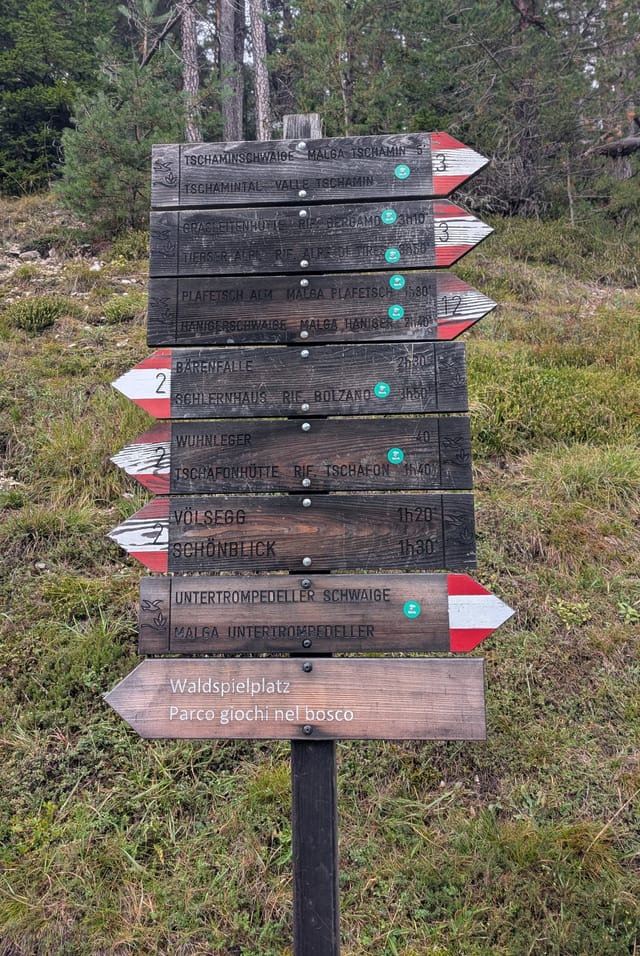
Cross the bridge and take trail 3 into the woods between the buildings, with Malga Ciamin on your right. Climb the steep hill and keep following trail 3 past the paths branching right.
Shortly after a picnic area with a view of the cliffs, trail 3 joins forest road 13. Follow the wider road for about seven minutes until trail 3 branches left and descends to the river.
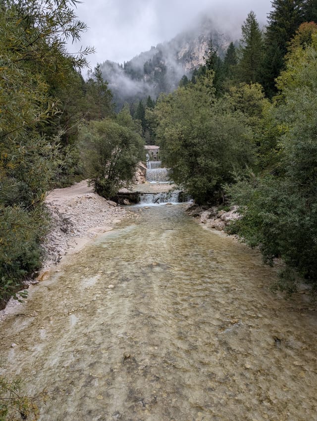
Follow the river gently up the valley, crossing it twice. After about 50 minutes, turn sharply left in the trees and begin climbing the left side of the valley.
After another 30 minutes, reach the 3/3A fork. Take trail 3A to the right and cross a smaller stream. Trail 3B soon joins from the left below the cliff; continue right and uphill on 3A.
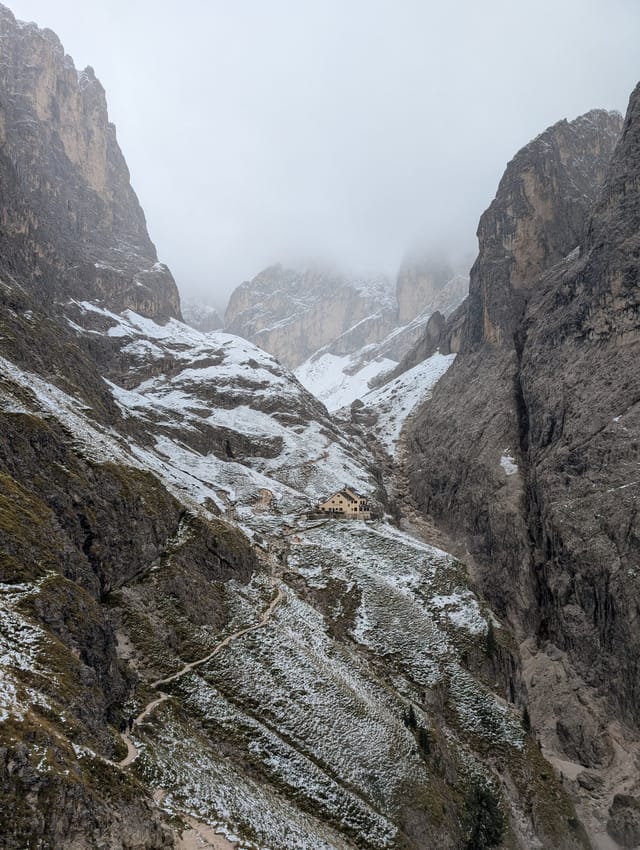
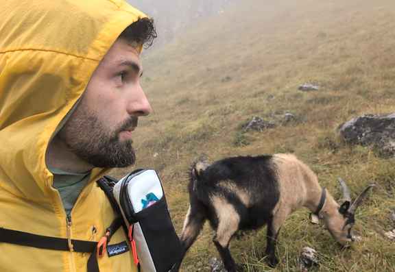
Gain more elevation, pass the goats if they are around, and continue beyond the flagpole. The hut comes into view deeper in the valley, about ten final uphill minutes away.
Return to Lavina Bianca on the same trail.
Three quarters of the trail follows the river at the bottom of the valley, so it is somewhat protected from the weather.
Only the final part is steeper and more exposed.
The upper trail and Rifugio Bergamo sit above 2,000 m, so snow is possible around the beginning and end of the season.
There is water at the trailhead and at both huts.
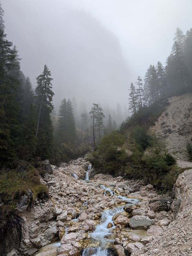
There are springs around 2 km and 3 km, plus an alpine creek around 5.6 km.
An early start is recommended on weekends and throughout summer because the parking lot fills quickly.
Cell service is poor or unavailable, especially higher in the valley.
Bring some small cash for the huts because card terminals can be unreliable.
Story · Nov 24, 2025
Story · Nov 16, 2025